Geoportal

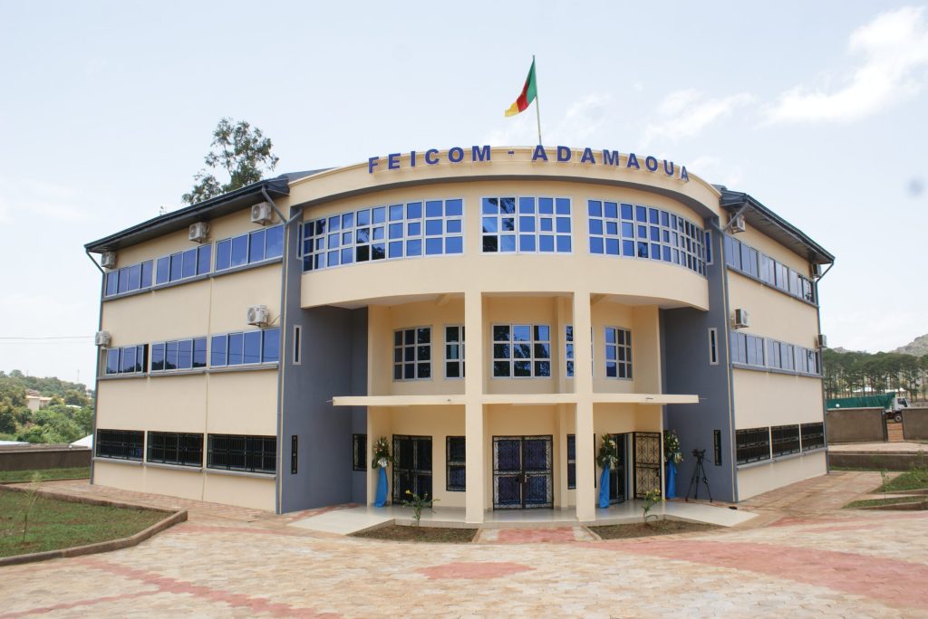
Gilbert Biwole Observatory
The aim of this geoportal, which was created in 2014, is to facilitate access to baseline geographic information. The data used in this geoportal, which is intended to be open and interoperable, is regularly enriched with new public data. As of today, the Observatory is a complete infrastructure offering its services to individuals, public organizations and local development professionals.
A supportive approach
The portal of Cameroon’s Regional and Local Authorities, which stems from a mutually beneficial partnership between FEICOM and its institutional partners, is the ideal means of observing and evaluating local development, and sharing identified good practices in this domain.
Products and services of the Geoportal
The Geoportal provides you with all available and reliable information on RLAs, in the most diverse forms:
- thematic maps;
- statistical tables;
- analysis reports;
- etc.
Missions of the Observatory
The missions of the Observatory are structured around the following points:
-
Collection and pooling of data on Councils
-
Statistical and cartographic productions
-
Conducting studies on local development
-
Dissemination of information

Gilbert BIWOLE Local Development Observatory stems from FEICOM’s desire to have constantly updated, reliable and complete data on RLAs.

